Water lifelines of the plain
Lara Giordana
How to cite: Giordana, Lara (2026) Water lifelines of the plain. In: Dialoguing Species | Crafty Practices, https://dialoguing-species.eu/crafty-practices-archive/liquid-lifelines-of-the-plain/, ISBN: 9791298510227
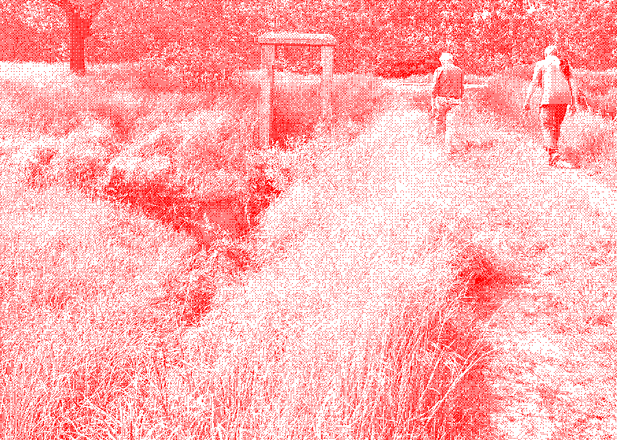
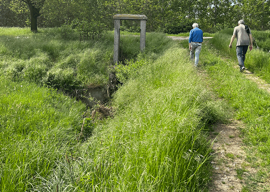
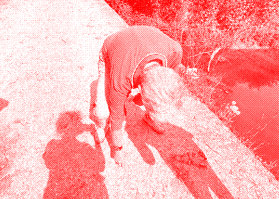
1. Walking beside a now-disused ditch, the ancient stone frame that once held a sluice gate still stands.
Streams, groundwater-fed ditches, and small earthen trenches run across the flat surface of the countryside like veins of water. They trace a dense and intricate hydraulic web that stretches for kilometres and seeps ever more finely into the soil. Giacomo and Giovanni move through this network with ease: for them these water branches are familiar, forming a map of relations and defining places of life. The two men know the routes and names of these waters, signs of a hydraulic knowledge rooted over centuries and intertwined with the geological and hydraulic forces that shape the land. Giacomo is a retired science teacher, an agronomist, and expert in entomology and botany; his historical knowledge of the area is the inheritance of his ancient farming family. Giovanni was born at the beginning of the Second World War and grew up among these waterways, which he still frequents as a passionate angler, cycling more than ten kilometres a day to follow them.
Some streams rise on the plateau, kilometres away, cutting deep furrows as they descend across the plain. Others are born here: they gather both spring waters that surface almost naturally, following a human invitation, and the drainage from meadows. For centuries, perhaps even a millennium, spring waters have been domesticated through the opening of fontane — as springs are called locally — and through historical drainage. They were built to reclaim wetlands and provide drinking water, harnessing shallow aquifers through carefully excavated depressions that open the natural point where the spring emerges. These waters supply a dense network of channels, used both for irrigation and, until the Second World War, to power mills. The network is also sustained by waters captured many kilometres away as Alpine torrents make their long descent toward the Po. It is enriched as well by the streams that spill down from the plateau, weaving their way into this intricate hydraulic landscape.
Local hydronyms precisely mark every meeting and branching of the watercourses. In streams and large irrigation ditches, minute names evoke subtle variations in the flow: the stagnant stillness of pools swelling upstream from the metal sluices (saraie) — where the water gathers, forming small basins (ciseu) — alternates with the swirling turbulence of deep eddies (gorg) opening just below the gates. Even the smallest irrigation trenches have their own name. Yet it is difficult to find one’s way through this aquatic maze without an expert guide, someone able to read the water’s directions and the osmotic exchanges between water and soil. Like thin capillaries, some trenches bring water to the meadows, others drain it away.
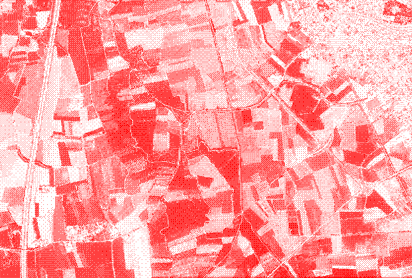
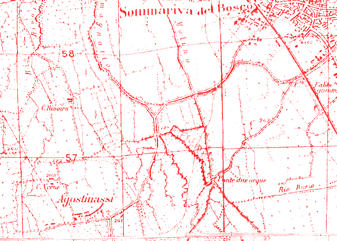
2. Satellite image with the main hydrographic network in blue
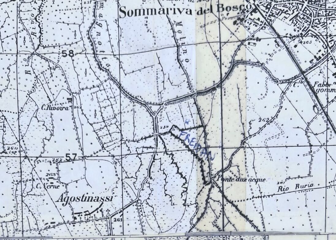
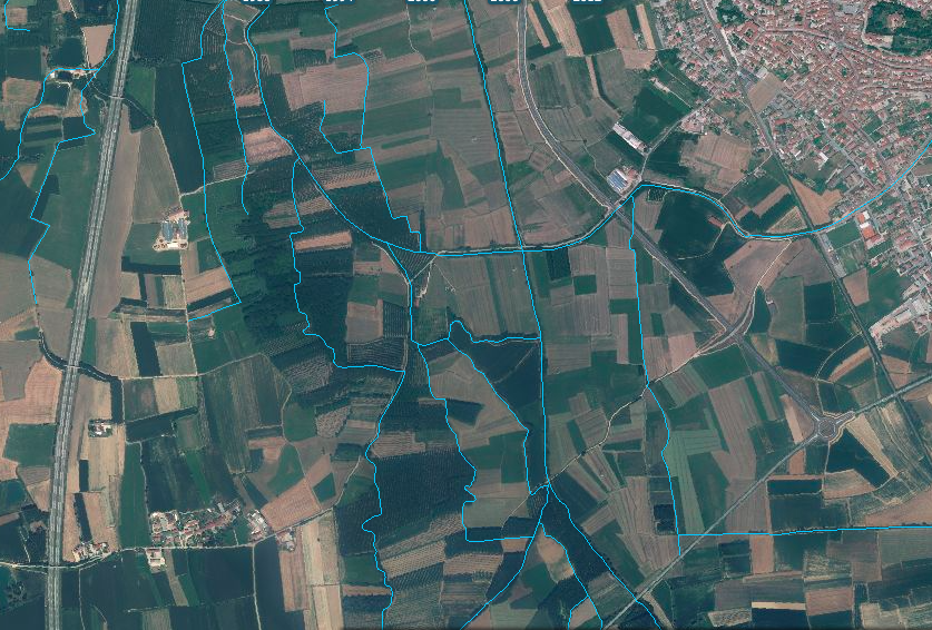
3. Detail from a historical map of the same area
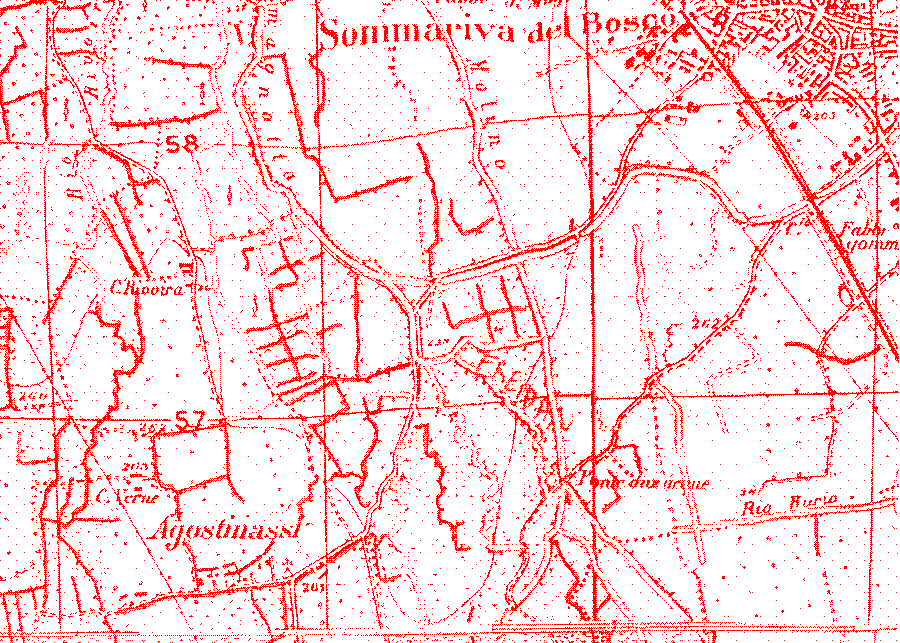
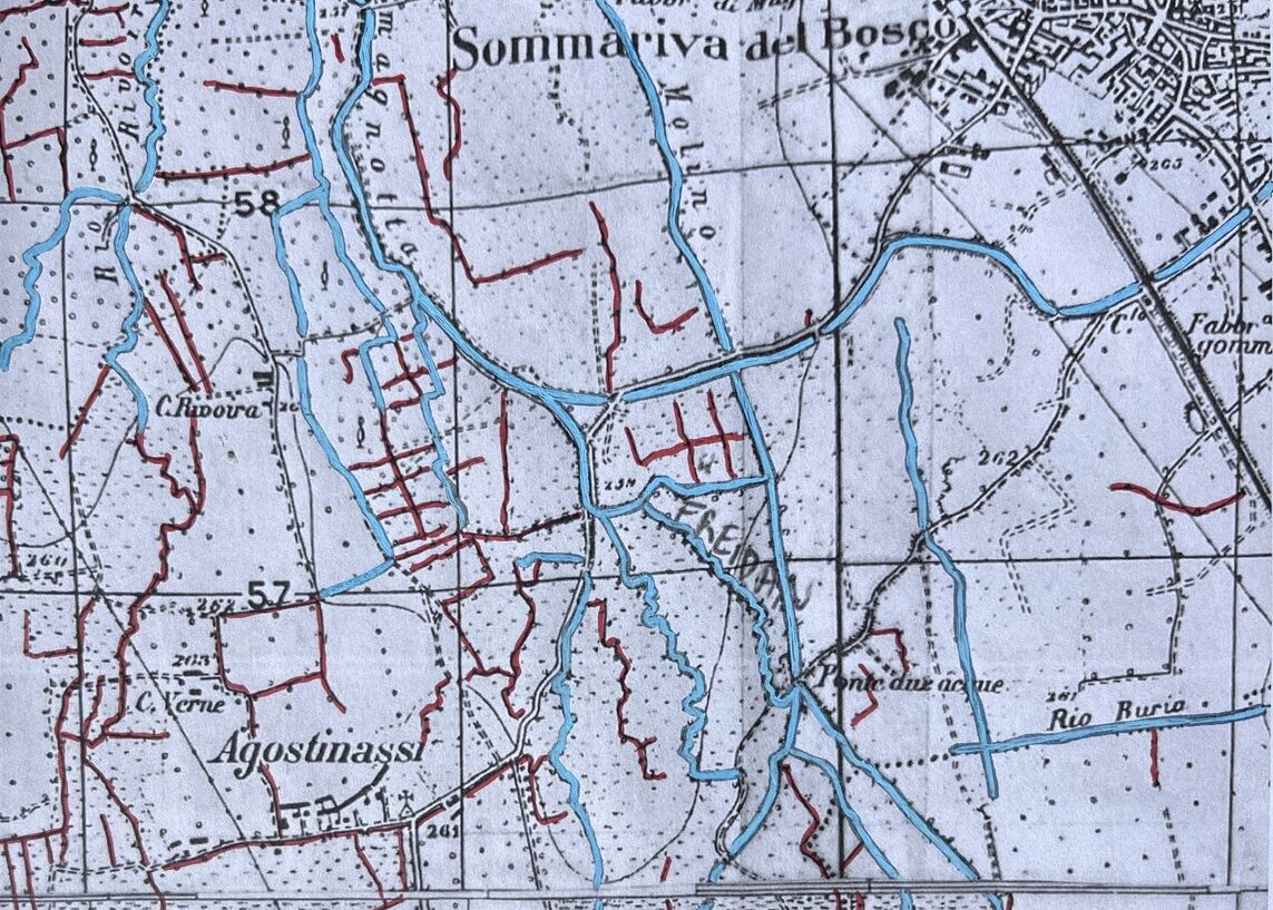
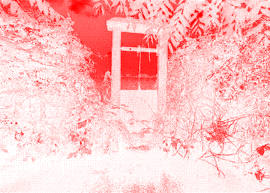
4. Springs and small ditches in red
Following these veins of water, memories surface of an amphibious sociality now lost. In the Agostinassi lowlands, the long spring-fed furrows run in parallel lines, like the teeth of a comb, often concealed among rows of poplars or, more rarely, between oaks and alders, where renaturalization has been allowed. Linked by sinuous bends, their paths are traced in the dust by Giovanni’s hand as he recounts how extraordinary those springs once were for fish and anglers alike.
Today, in some of these spring-fed ditches, the water almost stagnates, as the flow is no longer maintained by the annual collective work of care through which humans once guided it, intervening only where the interaction between water, sediments, plants, and animals impeded the current. Interventions were carefully calibrated to reshape banks eroded or modified by plants and animals, remove excess sediments, and selectively trim macrophytes that slowed the current or caused backflow toward the head of the spring.
Giacomo and Giovanni recall when, as children, they went “duck fishing,” trying to catch them on hooks like fish (without success!). The ducks arrived with the uveri, the flooding of the meadows: twice a year, during the great spring and autumn rains, the channels would overflow and cover the meadows completely for weeks, then slowly recede, in a slow process that did not cause erosion but, thanks to the mixing of organic matter, brought new species. Memories also turn to the work of the seivau, who opened and closed the saraie to direct water into the seiv (the main ditches) during the irrigation season (samboira), from mid-April to September, ensuring the fair distribution of water across the irrigated fields. Their voices blend with memories of childhood and youth spent near the water. Streams and ditches were also places to wash clothes, bathe, and cool off on hot summer days. The bathing season began with the first village festival (May 6) and ended with the second (September 8). The first time Giovanni saw a bathing suit was not by the sea — too far to reach before cars became common — but right here, along these canals.
5. Mapping ditches in the dust
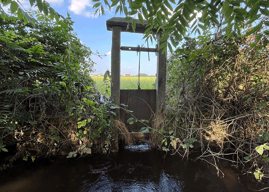
6. Sluice gate
These streams and ditches teemed with life, not only human: people and fish shared them, meeting each other daily. In winter, pikes remained still in the shallow water beneath thin crusts of ice forming along the ditch edges. In other seasons, fish were so abundant that farmers would temporarily dam the seiv with clods of earth to gather and catch them, or lower a trubia, a sack-shaped net, to secure the day’s meal. Fish were once an important part of the local diet. They were not only caught for personal consumption, but professional fishermen, known as pescau, also sold or traded their catch. “Many fish, many eggs,” Giovanni recalls from his grandmother’s stories. Traces of this trade still linger today in family nicknames, a quiet reminder of a long-standing local tradition. As a boy, Giovanni also learned to fish with his bare hands, diving into the cold spring-fed ditches and feeling the submerged banks for the fish hiding there, then resurfacing with a fish in each hand. The Freidan was so icy that it was safer to go in pairs: one held the other by the legs, ready to pull him out in case of trouble.
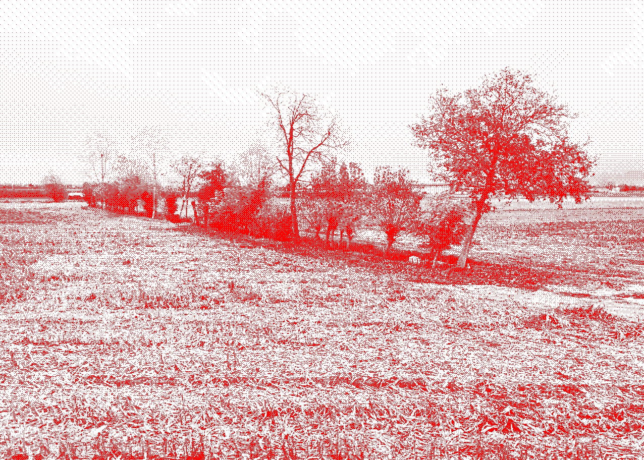
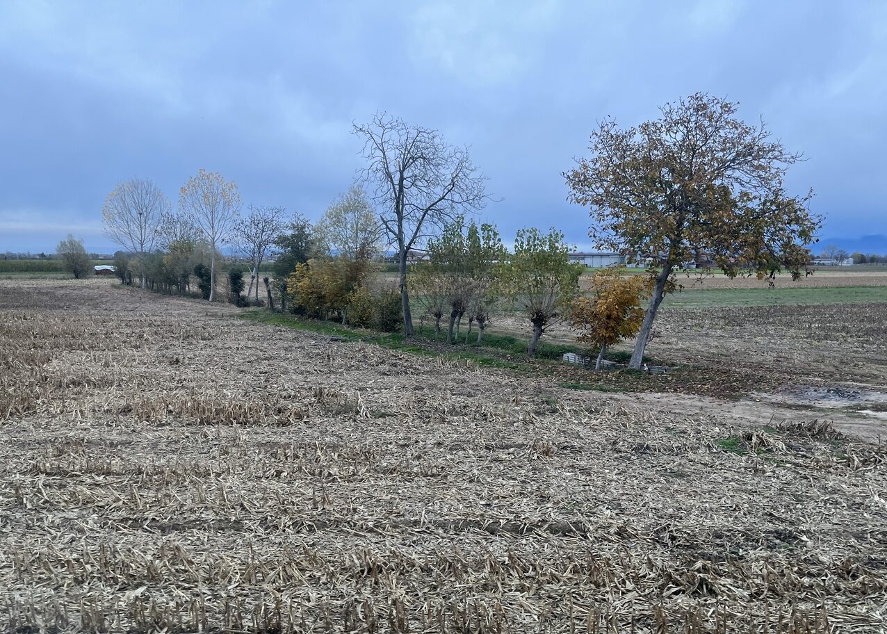
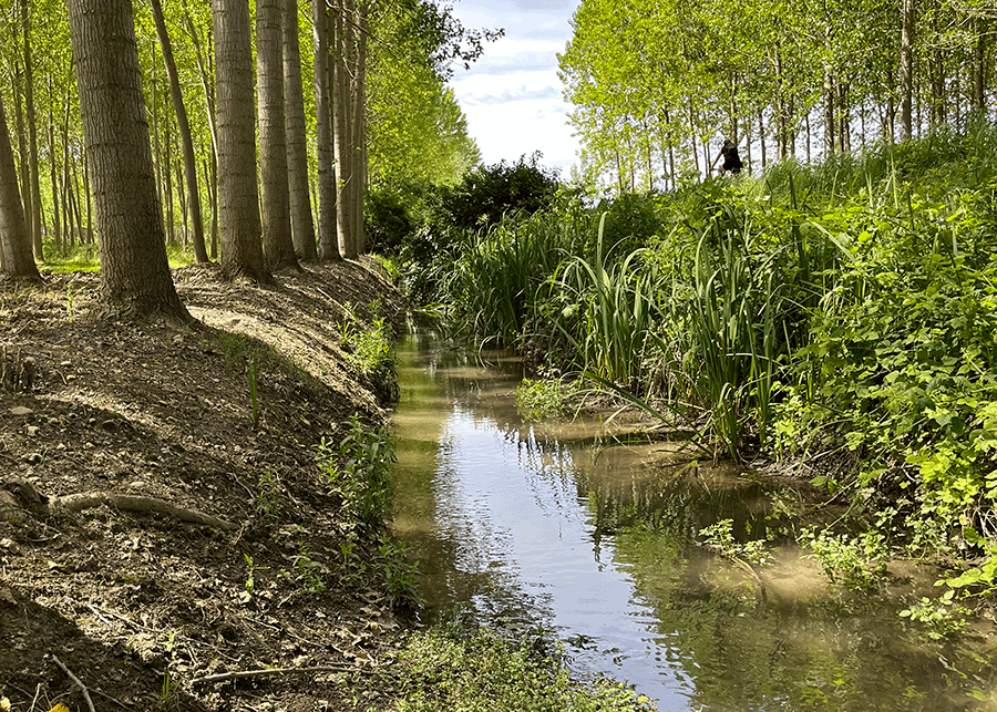
This was an area of permanent meadows, too wet to be suitable for cultivation, but with the mechanization of agriculture, cultivated areas expanded, water extraction increased, lowering the groundwater level. Deep-well pumping systems don’t need the seivau: powered by engines, they are now monitored from farmers’ computers. Yet irrigation ditches remain familiar presences in the landscape, visual anchors in the vast expanses of meadows and fields, the lines of trees along their edges signalling their presence from afar. In the surrounding plain, the woods where the springs originate remain among the few residual forest patches.
Lines of wildlife, precious ecotones, even the ditches are among the few spaces that still resist intensive cultivation, with plots that have grown larger and are increasingly dominated by maize, a thirsty crop poorly suited to the growing scarcity of water. To address this, in other areas of the plain irrigation by flow is being replaced by pressurized systems and sealed pipes. But the drive for efficiency — not to waste a drop, to deliver water as directly as possible to the crops — also deprives canals and ditches of the water in which other beings thrive.
7. Earthen ditch outlined by trees
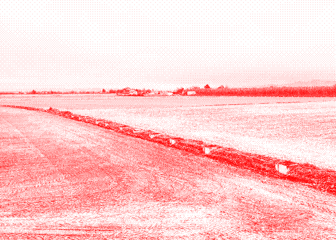
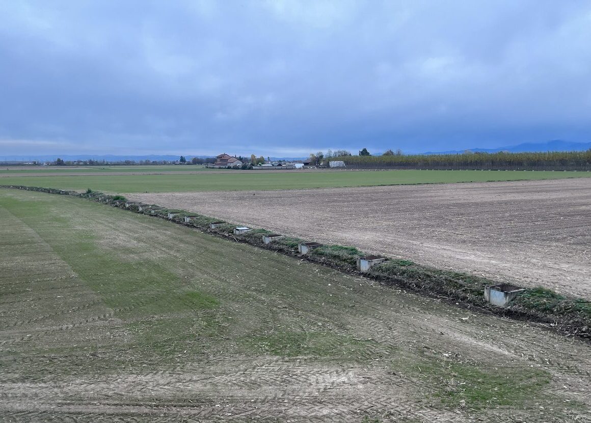
8. Former ditch now piped
The hybrid network, consisting of ambiguous water bodies created or modified for human benefit, still offers shelter and habitat to many nonhumans: fish, amphibians, insects, trees, birds, and small mammals, though only temporarily in the smallest ditches. Subalpine pikes are no longer glimpsed in the seiv, now a rare presence, while the subtle movements of small benthic fish in the spring-fed furrows reveal themselves only to the few humans and fish-eating birds — herons and cormorants — who continue to fish these waters. Yet the spring-fed furrows, with their waters flowing year-round at cool temperatures even through the driest summers, sustain a remarkable diversity of life.
Among the inhabitants is the Padanian goby (Padogobius bonelli). Males meticulously construct a nesting chamber among pebbles and gravel, guarding the adhesive eggs laid there by females until they hatch. The Italian riffle dace (Telestes muticellus) displays orange patches beneath its fins during the breeding season. The Triotto (Leucos aula) is sometimes still prized for frying. The Alborella (Alburnus arborella) gave its name — liseta in the local dialect — to the local fishing association. The common Italian spined loach (Cobitis bilineata) also inhabits these waters. Even the elusive Italian golden loach (Sabanejewia larvata) made a celebrated appearance during a long-awaited fish-fauna survey, thrilling ichthyologists and environmental officers.
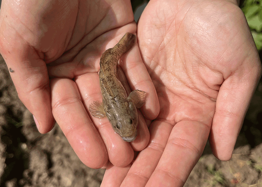
9. Gravid Padanian goby
10. Ditch
Countless generations of fish have coursed through these veins of water, dependent on clear, cool springs shaded by trees and the steady flow that keeps their habitats alive. They have long contended with growing human pressures. Now they face rapid hydrosocial change and the uneasy company of species introduced — or escaped — from human care, which have moved upstream from the rivers, following the network of waterways until they reached the spring-fed habitats. These newcomers are reshaping the microhabitats.
The tiny Eastern mosquitofish (Gambusia holbrooki), released to control malaria-carrying mosquitoes, also feed on the eggs of other aquatic insects; the Pseudorasbora (Pseudorasbora parva), capable of thriving in degraded environments, prey on the eggs of native fish; the “Goldfish” (Carassius auratus) is a sturdy competitor for food; the Asian weather loach (Misgurnus anguillicaudatus), freed from aquaria or escaped from fish farms, endures even when water is scarce; and the Red swamp crayfish (Procambarus clarkii), introduced through commercial ponds, is accompanied on its journey by a pathogen responsible for the decline of many local crayfish species. Restoration efforts aimed at reviving some of Agostinassi’s spring-fed furrows by restoring the flowing microhabitats essential for native species are ongoing.
Look closely. There’s a fish here. And that movement of the water is the trace of a nutria passing by — out of sight.
Image 2: Italian Ministry of the Environment and Energy Security – National Geoportal (CC BY 4.0); all other images and video by Lara Giordana. 1. Agostinassi (Sommariva del Bosco, CN), 15/04/2024; 3. Agostinassi, 12/02/2025: detail from an IGM (Italian Military Geographic Institute) map, Sommariva del Bosco, sheet 68 II N.O., surveyed 1880, last update 1964; 4. modified reproduction of Image 3; 5. Agostinassi, 15/04/2024; 6. Caramagna Piemonte (CN), 08/07/2024; 7 & 8. Centallo (CN), 07/11/2025; 9. Agostinassi, 24/05/2024; 10 & video. Agostinassi, 29/05/2025. Local terms are transcribed according to interlocutors’ ethno-graphies.